As homeschoolers, we pull educational opportunities from the oddest things. Everything from roadkill that we pass on the way to a field trip, to a beautiful needle point sent by the inlaws can turn into a full blown unit study.
Last week I realised that my kids may not know where we are going for vacation. We have studied the rivers of Egypt and Ancient Rome, but they may not know the rivers we have to cross to get to California! So I jumped, nose deep, into setting up a unit study for the United States.
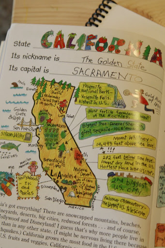
For now, we are just doing the Pacific States... as those are the ones we will be visiting next month. But I made the books cover all 50 states in depth. This means that it took an entire ream of paper, and two black ink cartridges before I was done... but it was well worth it. :) Here's how I did it:
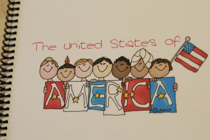
For the covers, I googled 'United States of America' under the images search. I chose different images for each of the kids because there are some big differences in the work I am asking of each of them, (although many of their pages will be the same) and I wanted the covers to reflect the level of work I expected.
In Cyan's book I mostly had a set of these three pictures to introduce the states.
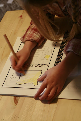
"Where Is ...?" from Homeschool Share, the
State Facts Pages from Crayola Coloring Sheets, and the
State Flower and State Bird pages from Homeschool Share Geography Resources. In the beginning of her book there are a few other sheets: the 7 continents, where America is in the world, and where the USA is in North America. I also included copy sheets for our address, pages to draw a picture of her house and common plants of our area (which is great, because we have at least 5 of the 'state flower' blooming in our yard right now), a large color map of the United States, and a couple of pages on our countries flag.
In Alex's book, there are all of these pages and more. There are pages on government, some on famous people from the different states, question and answer sheets on the continents, the countries of North America, and regions of our country as well. The flag sheets along with flag etiquette and how to fold a flag... I even included some sheets to write poetry about America.
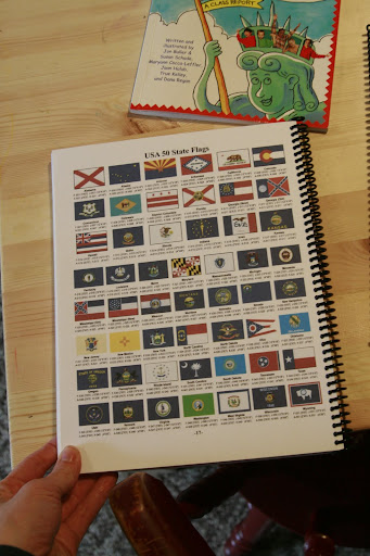
On the back of both books, I added a picture of all of the state flags (from Google images) onto card stock and I asked the kids to refer back to this when coloring the
flag sheets so they are using the correct colors.
I also went on
Enchanted Learning (I have a membership) and picked up a page on the regions of the US. I used this as a guide and divider for the books. I started with the Pacific States, moving from Washington, Oregon, California, and on to Alaska and Hawaii and moving across the country in sections, from top to bottom.
I organized the sections regionally so the kids can remember the states locaion in relation to other state locations. (This has always helped me remember.) It also is helpful because many of the states that are close together, have similar attributes or famous products in common. Such as the apples from Washington and Oregon.
I have been thinking about this unit study for a long time. Not specifically doing anything... but just knowing that something about the geography and history of our country was coming sometime before I was done with 'schooling' them. We have many resources and I borrowed a few more from a friend that I have found to be really helpful.
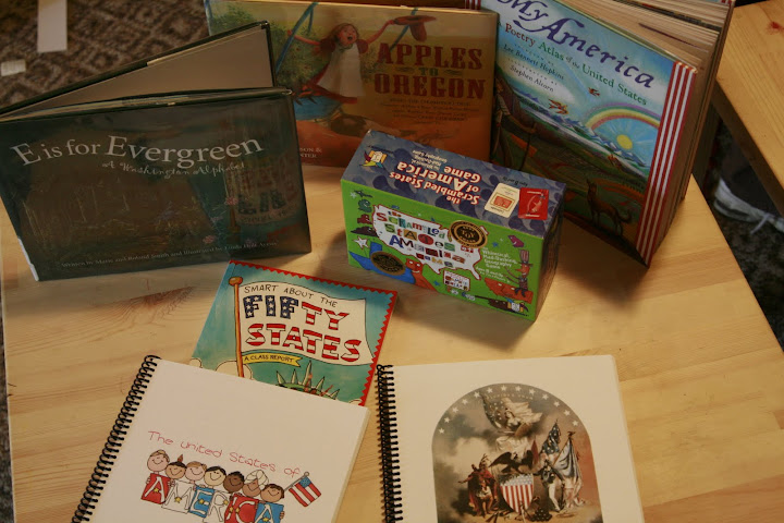
Games:
Books:
This is a page out of the book "Smart About the Fifty States".
It suddenly seems as though everything we are doing revolves around Geography and History. The grains of the world study is going well and we are identifying the continents that these grains are commonly used on. We have a history class that just had a field trip with a real archaeologist this morning and watched him make a spear head out of obsidian. And then this afternoon we spent talking about the birth of professional apple fruit tree production in Washington and Oregon with Henderson Luelling. I think my coolest moment in the day is when I could share that the Gravenstein apple was one of the varieties that Henderson Luelling brought over in his covered wagon 160 years ago, and we have one IN OUR YARD!
Somedays, I just LOVE being a homeschooler. :)

2 comments:
I am drooling over the books you made for your kids! We finished our history unit early so we're doing a quick geography lesson on the US. I found a fantastic book and wanted to pass its title on to you. It's called The Little Man in the Map. It's a great way to remember the position of the states using a fun rhyme.
Anyhow, I just discovered your blog and have enjoyed looking through it. I'm stealing some of your ideas! ;o)
Brittney
Thank you Brittney! That sounds awesome. Going to put it on hold at my library right now. :)
Post a Comment